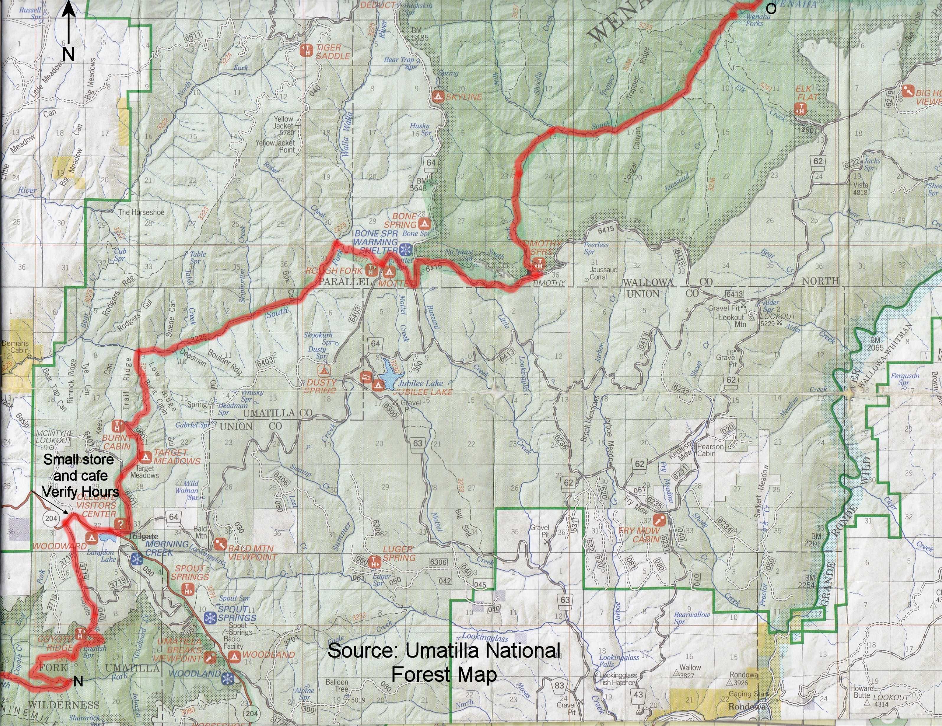

Desert Trail: Umatilla Segment
This section starts out along the Skyline Road, a graveled forest road that runs along a long ridge, often with awesome views and wildflowers in season. When it’s dry on a weekend you might get dusted by passing cars. Otherwise I enjoyed the views. There are many black bears in this area so a pair of binos or a monocular might be fun to check out that moving black dot on the next hillside. (See my post on why bear danger is over-rated.)
At Ruckel Junction the route turns left and is soon following the boundary of the North Fork Umatilla Wilderness, then heads into the Wilderness on the North Fork Umatilla River Trail (#3083.) It climbs from a shady, damp riverside to an open hillside. Miles later you leave the wilderness and might be able to get a burger and limited supplies at the Tollgate store.
The route descends back to a hiking trail along the Walla Walla River, where I saw wolf and bear tracks. After many switchbacks you’ll be back on top of the ridge and follow forest roads to the end of the section at the Timothy Springs Trailhead.
I didn’t have trouble finding natural water sources, but there can be long waterless stretches along the Skyline Road so don’t get “behind the curve.”
This section is described in my journal starting here and running for the next few entries.
As roughly plotted digitally it is 69 miles long. Allowing for real-world twists and turns it is closer to 80 miles.
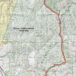
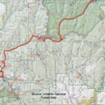
This segment is plotted on Google Maps below. YOU MIGHT HAVE TO ZOOM OUT UNTIL YOU SEE IT. You will also find maps that you can view online or print.
If you hike this segment of the Desert Trail, please report your experience below, including water sources, routefinding etc.
Desert Trail Intro
Desert Trail Guidebooks
Desert Trail Overview Map
My Desert Trail Journal
I have information on each of the new Desert Trail segments from Highway 78 in Oregon to Canada as seen below. For a rough digital map of that stretch of trail, click here.
Warm Springs: Highway 78 to Drinkwater Pass
Malheur: Drinkwater Pass to Austin Junction
NF John Day Wilderness: Austin Junction to FR 52
Wallowa: FR 52 to I-84
Umatilla I-84 (Exit 243) to Timothy Springs
Wenaha-Tucannon Wilderness: Timothy Springs to Dayton
Wheat Land: Dayton to Hooper
Columbia Plateau: Hooper to Spokane
Mt. Spokane: Spokane to Newport
Selkirk Mountains: Newport to Canada
View Desert Trail: Umatilla in a larger map where can download the .kml file if you want and convert it for use with most GPS units.