
Desert Trail: Wheat Land segment
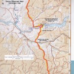
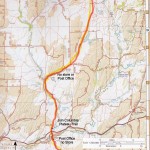
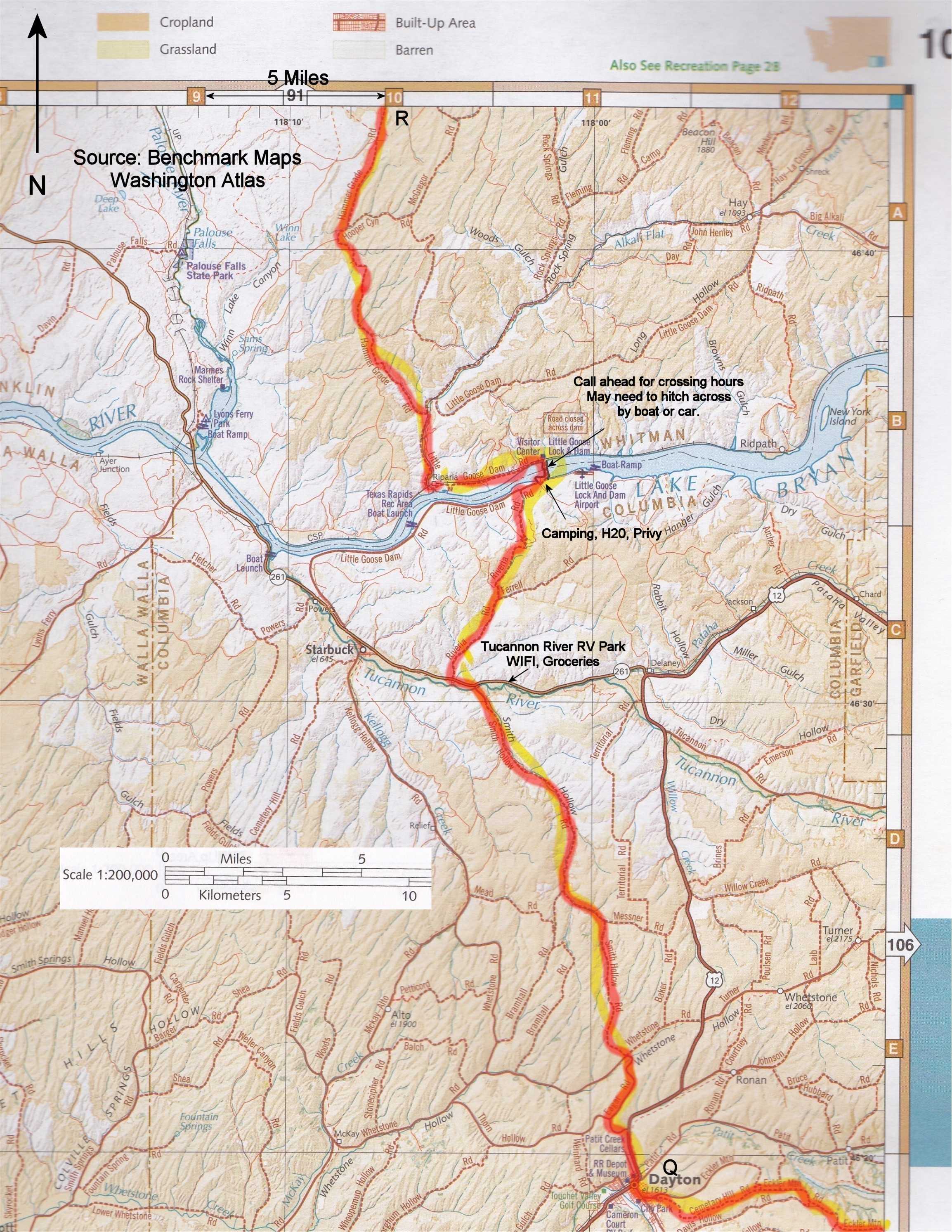
This is all road walking through wheat country, and I really enjoyed it. The rolling wheat fields and Snake River were such a contrast to most of the trail. There was little traffic most of the way. It is about 15 miles to the Tucannon River. Turn right a mile or so to get to the campground. From Dayton it is about 23 miles to Little Goose Dam or 43 miles to Hooper.
This section starts in Dayton which has motels and food. Most of the route is back roads with minimal traffic. The highlight of the route is Little Goose Dam on the Snake River. There is water roaring over the dam, drinking water and bathrooms, and best of all a fish ladder where, in season, you can see salmon and other fish swimming by two feet away! The contrast with the southern portions of the trail was extreme. There is camping nearby.
Make sure you call ahead for hours for dam crossings. (1-888-326-4636) That number also can give you information for other crossings in the area. They might not let you walk across when you get the dam. You might have to hitch across or hitch a ride with a boater at one of the boat landings. This section ends at Hooper which has a Post Office as of 2013, but no other services.
Consider camping at the RV campground or Little Goose to avoid camping on private land. You can push on to the Columbia Plateau Trail to camp the next night.
I carried enough water to get from Dayton to Little Goose Dam where I got some water from a faucet, then carried enough to get me to the town park at Hooper where I got some water from a lawn watering faucet. The Tucannon River is another source and you might be able to find other sources in a wet year but there are definitely long waterless stretches.
You can read my journal entries of this segment starting here.
This Desert Trail in Washington is plotted on Google Maps below. Below you will also find maps that you can view online or print.
The source of some of the maps posted below is the Benchmark Map: Washington Road & Recreation Atlas I bought one of these atlases for each state along the Desert Trail. They were super handy for planning purposes and you can photocopy pages to bring with you for “the big picture.”
If you hike this segment of the Desert Trail, please report your experience below, including water sources, etc.
Desert Trail Intro
Desert Trail Guidebooks
Desert Trail Overview Map
My Desert Trail Journal
I have information on each of the new Desert Trail segments from Highway 78 in Oregon to Canada as seen below. For a rough digital map of that stretch of trail, click here.
Warm Springs: Highway 78 to Drinkwater Pass
Malheur: Drinkwater Pass to Austin Junction
NF John Day Wilderness: Austin Junction to FR 52
Wallowa: FR 52 to I-84
Umatilla I-84 (Exit 243) to Timothy Springs
Wenaha-Tucannon Wilderness: Timothy Springs to Dayton
Wheat Land: Dayton to Hooper
Columbia Plateau: Hooper to Spokane
Mt. Spokane: Spokane to Newport
Selkirk Mountains: Newport to Canada
View Desert Trail: Dayton to Hooper, Wheat Land in a larger map where can download the .kml file if you want and convert it for use with most GPS units.