
Desert Trail Columbia Plateau
Just past Hooper the route joins the Columbia Plateau Trail which is an abandoned railroad track. At the north end it becomes the Fish Lake Trail which runs all the way to Spokane.
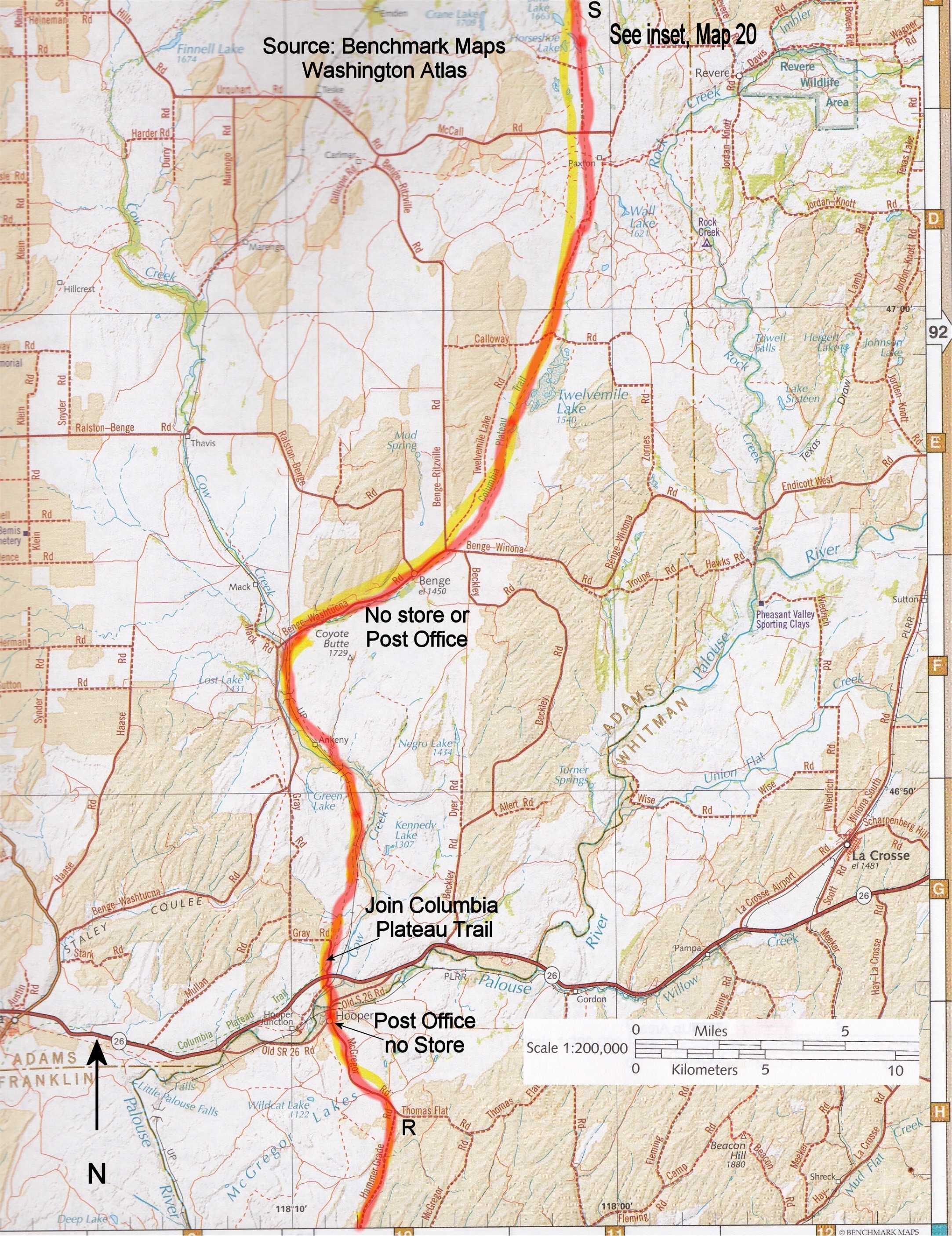
This section is an estimated 90 miles long. There are no supplies in either Benge or Lamont although you can probably ask someone for drinking water. I found natural water along the trail as well. Cheney is near the trail and there is food aplenty there.
Railroad ballast, very coarse crushed gravel, can make the first part of the trail rugged walking. It later becomes finer gravel and easy walking and is paved the last few miles. There is at least one railroad tunnel along the way, and one very high blocked trestle you can walk around. Watch for rattlers, I saw two in this area. I also saw lots of wildlife including deer, antelope, waterfowl and coyotes. There is some surprisingly wild, open country. It seems dry and barren, but there are a surprising number of lakes as well, including many in the Turnbull National Wildlife Refuge which the trail passes through near Cheney. See this link for photos and more information. I enjoyed this stretch of trail with it’s unique look and feel and easy navigation.
You can read my journal entries of this segment starting here.
There are no Desert Trail markers along the route.
This Desert Trail in Washington is plotted on Google Maps below. Below you will also find maps that you can view online or print.
The source of some of the maps posted below is the Benchmark Map: Washington Road & Recreation Atlas I bought one of these atlases for each state along the Desert Trail. They were super handy for planning purposes and you can photocopy pages to bring with you for “the big picture.”
If you hike this segment of the Desert Trail, please report your experience below, including water sources, routefinding etc.
Desert Trail Intro
Desert Trail Guidebooks
Desert Trail Overview Map
My Desert Trail Journal
I have information on each of the new Desert Trail segments from Highway 78 in Oregon to Canada as seen below. For a rough digital map of that stretch of trail, click here.
Warm Springs: Highway 78 to Drinkwater Pass
Malheur: Drinkwater Pass to Austin Junction
NF John Day Wilderness: Austin Junction to FR 52
Wallowa: FR 52 to I-84
Umatilla I-84 (Exit 243) to Timothy Springs
Wenaha-Tucannon Wilderness: Timothy Springs to Dayton
Wheat Land: Dayton to Hooper
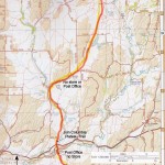
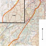
Columbia Plateau: Hooper to Spokane
Mt. Spokane: Spokane to Newport
Selkirk Mountains: Newport to Canada
View Desert Trail: Washington State in a larger map where can download the .kml file if you want and convert it for use with most GPS units. Zoom in until you find Hooper and Spokane.
-
- 19_Columbia_Plateau
-
- 20_S_of_Spokane